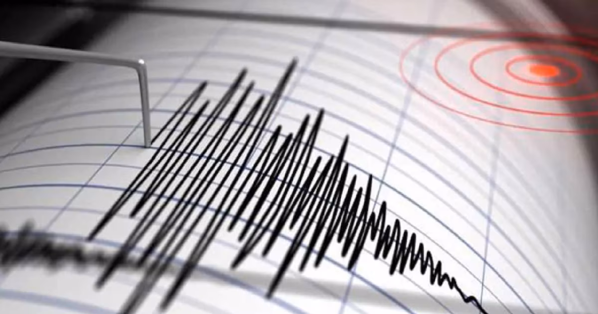
Morning Seismicity Report for this Monday, March 30, 2026
He National Seismological Service reported on several earthquakes recorded during the early hours of March 30, 2026 in different regions of the country. All movements were of low to moderate intensity, with no reports of serious damage or effects on the population.
Where did the earthquakes occur?
The earthquakes were located mainly in the states of Guerrero, Oaxaca, Chiapas, Colima and Veracruz. The areas with the greatest activity were the South Pacific coast and some regions of the southeast.
What magnitude were they?
The magnitudes of the reported earthquakes ranged from 2.2 and 3.9 on the Richter scale, indicating tremors considered as mild. The strongest earthquake occurred southeast of Crucecita, Oaxaca, with a magnitude of 3.9followed by another of the same magnitude southwest of Pinotepa Nacional, Oaxaca.
At what depth were they recorded?
The depth of the earthquakes was variable:
- Some occurred near the surface, such as Pichucalco, Chiapas (2.7 km deep).
- Others were deeper, like Matias Romero, Oaxaca (124.4 km) and that of J. Rodríguez Clara, Veracruz (93.4 km).
List of the main earthquakes reported
- 3.9 — 33 km southeast of Crucecita, Oaxaca (10.9 km depth)
- 3.9 — 81 km southwest of Pinotepa Nacional, Oaxaca (30 km deep)
- 3.8 — 29 km southeast of San Marcos, Guerrero (24.4 km depth)
- 3.7 — 39 km southwest of Mapastepec, Chiapas (81.3 km depth)
- 3.6 — 27 km south of Ometepec, Guerrero (30.2 km depth)
What does this activity mean?
These earthquakes reflect the usual seismic activity in the southern and southeastern region of Mexico, areas where the occurrence of tremors is common due to the interaction of tectonic plates. Most were of low magnitude, so only some people were able to perceive them, especially those close to the epicenter.
Recommendation
The authorities invite the population to remain calm, follow the instructions of Civil Protection and pay attention to official statements. No damage or injuries have been reported following these events.
Mexico is located in one of the regions with increased seismic activity of the world due to its geographical position. The country is located on five tectonic plates main ones: the North American one, the Pacific one, the Cocos one, the Rivera one and the Caribbean one. The interaction between these plates generates a constant friction and accumulation of energy, which when released produces telluric movements of various magnitudes.
Most of the earthquakes in Mexico They originate on the Pacific coast, especially in the southern and central states, where the Cocos Plate subducts beneath the North American Plate. In addition to subduction, there are geological faults within Mexican territory that can produce earthquakes.
Seismic activity is monitored by the National Seismological Servicewhich maintains surveillance over the highest risk areas and issues reports to inform the population about the movements detected and the recommended prevention measures.