The Canary Islands have been under the waterspout caused by Storm Therese for almost a week, which is close to coming to an end, although this Wednesday it will give its last blows. The spokesperson for the State Meteorological Agency (Aemet), Rubén del Campo, has announced in a statement that Thursday will return to normal in the archipelago, “with weak rainfall and only in the north of the islands.” However, during this day there are still traces of instability and there may be heavy showers.
On the contrary, in the peninsula and the Balearic Islands it will be a generally sunny day and stable weather, although in the Cantabrian Sea and the Pyrenees the north winds will carry clouds with weak rains and snowfall in the Pyrenean mountain range, with a snow level that will drop to 1,000 meters. This day, a thermal drop begins that will increase as the week progresses.
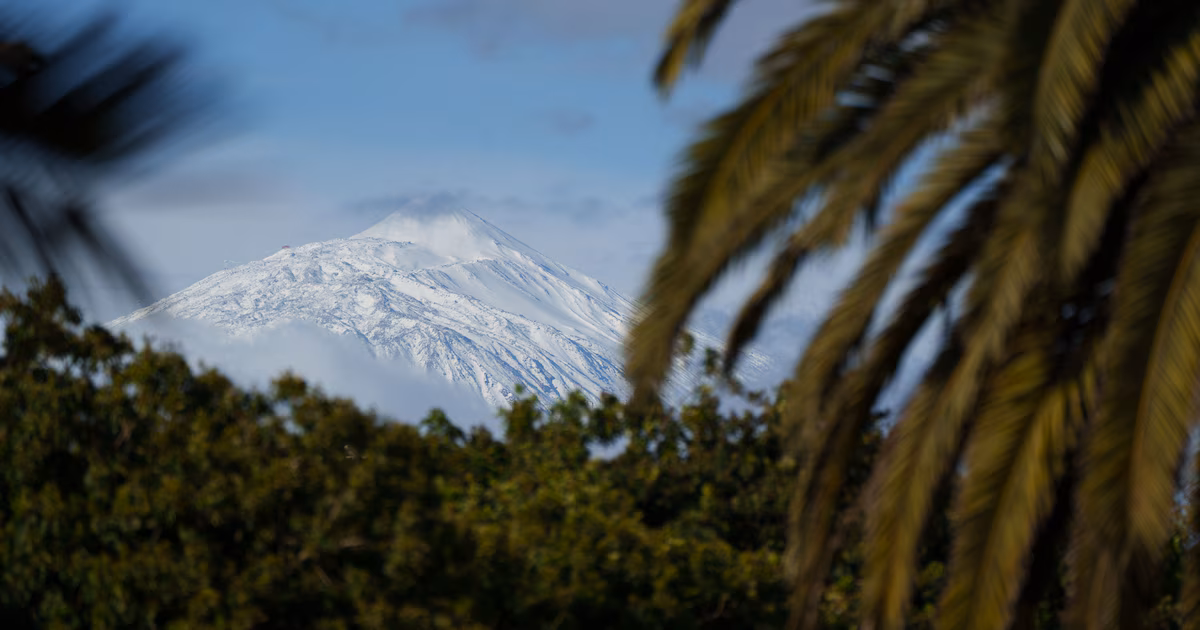
The Aemet has activated the warnings in La Palma, La Gomera, El Hierro and Tenerife due to rain; in Castellón and Tarragona due to wind; and Girona and Tarragona by waves. The rest of the wind warnings will be registered in Huesca, Teruel and Zaragoza; Girona and Lleida. In addition, the rest of the wave warnings will be found in Cádiz; the coasts of the Asturian coastlines; that of the Cantabrian coast; A Coruña, Lugo and Pontevedra; Guipúzcoa and Vizcaya. Aside from this, La Palma will be on warning for a storm and the Navarrese Pyrenees, for snow.
Thursday will be a calmer day in the Canary Islands, with some light rainfall in the western islands and Gran Canaria. On the contrary, according to the forecast, there will be rain on the peninsula, generally weak, in the extreme north and around the north of the Iberian system, as well as in parts of Catalonia and the Balearic Islands. The thermal decrease will leave the snow level around between 1,000 and 1,2000 metersIn the rest of the country, clear skies are expected. Winds will blow from the north with intensity, especially in the northeast of the peninsula and the Balearic Islands, and temperatures will be “clearly lower” in a good part of the peninsula, especially the maximum temperatures, which may be between 6 and 8 degrees lower than those of Wednesday. Andalusia will rise and there will be “a marked contrast between south and north.” In fact, in Seville it will be around 27 degrees, while Burgos or Soria will not even reach 10 degrees.
On Friday stable weather will prevail in general, “without ruling out some weak precipitation in parts of the Cantabrian Sea, the southeast and the Balearic Islands,” says the spokesperson for the public body. There could also be some light rain in the north of the Canary Islands. The most notable thing about the day will be the thermal drop. “We will wake up with frost in mountain areas and their surroundings and the maximums will clearly drop in the southern thirdwhile they will rise in the rest,” he indicates. Thus, in the Guadalquivir it will be around 22 degrees, 18 to 20 degrees in the central area of the peninsula and 10 to 14 degrees in much of the interior of the northern half.
Saturday’s day will be similar. The forecast calls for frost in mountain areas and also in moors in the north and center of the peninsula. A stable weather is expected, although with more clouds in the northern half and with rain in the Cantabrian Sea and the Pyrenees. The snow It will appear from about 1,000 to 1,200 two hundred meters in this mountain range, details del Campo, who adds that “some weak and scattered rain in the Balearic Islands and in the north of the Canary Islands cannot be ruled out either.”
“Palm Sunday will indeed be a cold day for the time of year, since once again we will wake up with frost in inland areas, especially in the north and east of the peninsula,” the spokesperson anticipates. Teruel, for example, could dawn with 2 degrees below zero. In addition, during the day a “sharp temperature drop” is expected in a good part of the territory and large areas, also in the northern and eastern interior of the peninsula, will not reach beyond 11 to 13 degrees, “so almost completely winter”, he adds.
As for precipitation, it will rain in the Cantabrian Sea, in the Pyrenees and in the Alto Ebro, with snow from 1,000 to 1,2000 meters. And rain is also expected in the Balearic Islands, without ruling it out, although it is unlikely, in parts of the east and south of the peninsula.
As for the first days of Holy Week, the Aemet spokesperson points out that they will begin “with stable weather and rainfall limited to the extreme north of the peninsula, with frost still on Monday, but with a recovery in temperatures starting that same day.” So in the following days, values “more typical” for the time of year are expected.